

Insights
Satellites, aircraft and drones serving local authorities: from imagery to decision-making
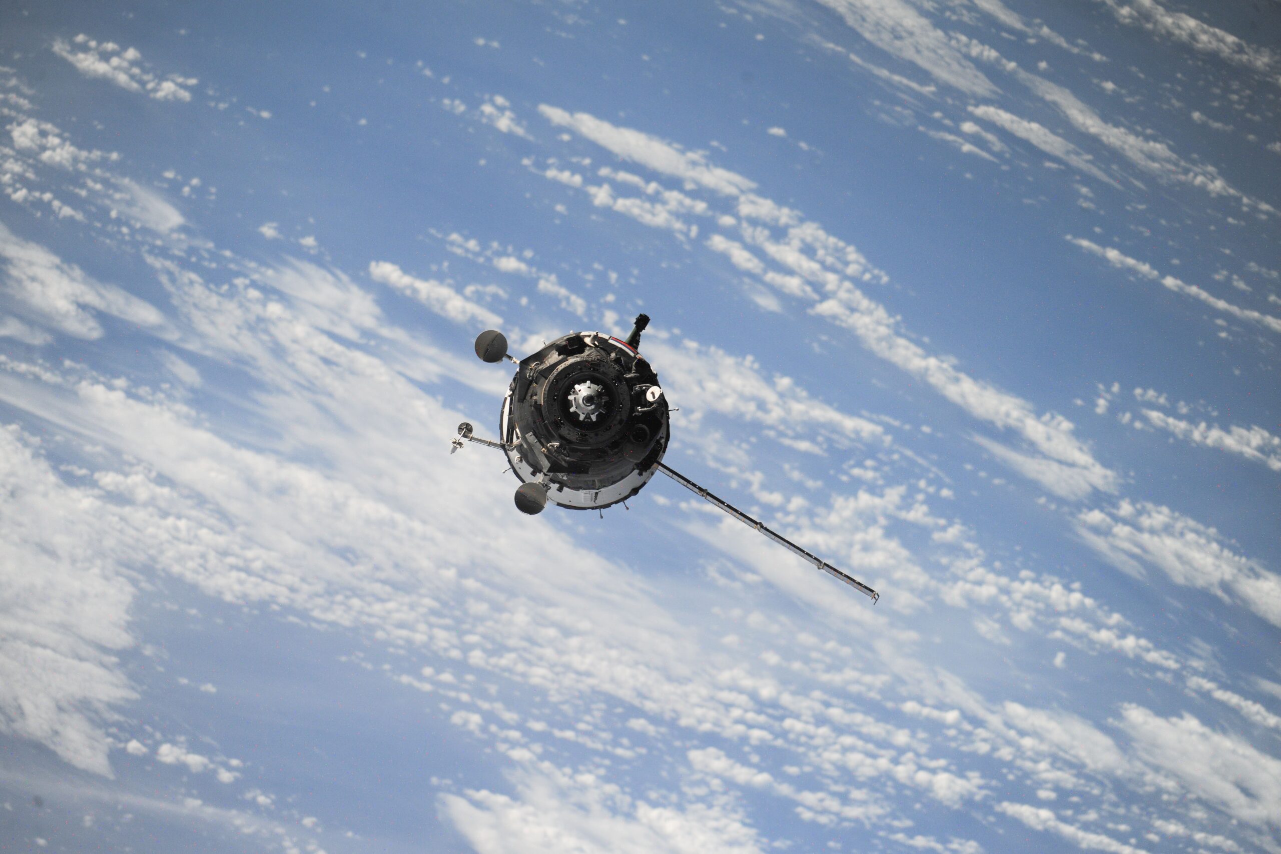
Droughts, wildfires, floods, coastal erosion, urban heat islands: climate change is forcing local areas to observe, anticipate and act faster. The tools to do so already exist: satellites, aircraft, drones and ground sensors. Much of the data is public, and some of it is free. Yet the link between these tools and public decision-making remains