

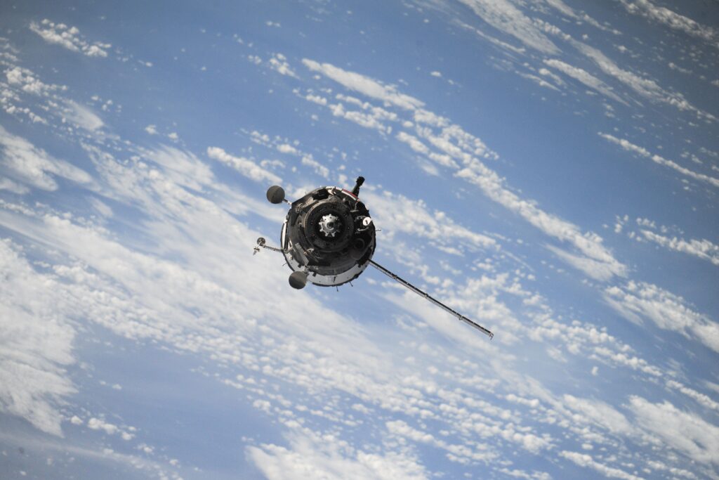
Satellites, aircraft and drones serving local authorities: from imagery to decision-making
Droughts, wildfires, floods, coastal erosion, urban heat islands: climate change is forcing local areas to observe, anticipate and act faster. The tools to do so already exist: satellites, aircraft, drones and ground sensors. Much of the data is public, and some of it is free. Yet the link between these tools and public decision-making remains fragile: the offer is designed tool by tool, needs are still poorly defined, and there is no common framework for making choices. Moving from imagery to decision-making means, first and foremost, removing this barrier.
A small market with major uses
The downstream Earth observation market was worth €3.5bn in 2024, 85 times smaller than the positioning and navigation market (EUSPA, the EU Agency for the Space Programme). It is expected to more than double by 2034.
Four tools, four uses
Satellites see wide and revisit often: Using the European Sentinel satellites (Copernicus), the ASP (the French Agency for Services and Payment) checks the land areas declared under the CAP (Common Agricultural Policy), with a new image every 3 to 5 days.
Aircraft provide the reference: IGN’s LiDAR HD programme (high-density laser survey) is mapping the terrain of France at 10 points per m², as open data.
Drones provide the detail: The Finistère SDIS (departmental fire and rescue service) operates 15 thermal-camera drones for firefighting and search-and-rescue operations.
Ground sensors validate: Vigicrues, the French national flood warning service, relies on more than 2,200 monitoring stations.
But each has its limits. Under cloud cover, optical satellites cannot see a flood. Last year’s aerial survey does not capture this winter’s storm. A drone can cover a construction site, not an entire département. A gauging station measures a river at a single point, not the full extent of a flood.
The real barrier: thinking in terms of tools, not uses
Data is no longer scarce. What holds things back is the way the question is framed. On the supply side, each sector works in silos. The space industry talks about satellites, the aerial sector about survey campaigns, the drone sector about missions, and sensor providers about measurement networks. On the demand side, needs remain poorly defined. Which decision needs to be informed? How often? With what accuracy, and within what timeframe? And with what expected value? In between, there is no common framework for comparing options against the same criteria. The result: promising pilots that struggle to become sustainable services, and real needs that fail to find a suitable offer.
Some answers
✓ Start from the decision, not the technology. Identify priority uses, maturity levels, barriers and expected value, drawing on European cases that have already made the leap.
✓ Take a cross-cutting view of the offer. Satellites, aircraft, drones, sensors: who does what, at what level of maturity, and where value is created, from data capture through to operational services.
✓ Decide using a common framework. Compare platforms use case by use case against shared criteria: coverage, frequency, responsiveness, data production cost, regulatory constraints and environmental impact.
✓ Match supply and demand to set priorities. Identify where the offer already meets the need, where a need still lacks a mature solution, and where to invest first.